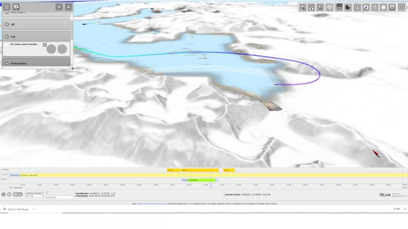
3D viz (example)
NGVOC visualisation of snow mapping on Svalbard from Terra MODIS with simultaneous air photographies from a Dorner flight over Ny Ålesund, September 3, 2019. Link (note the navigation instructions in 3D under the button marked in upper right corner).
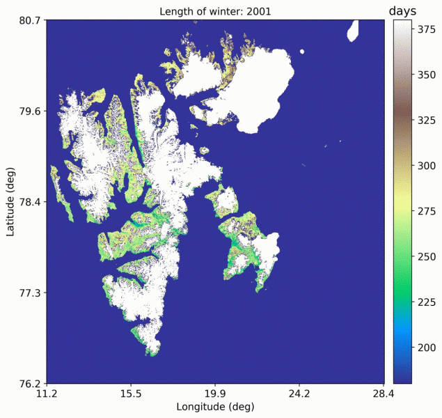
Length of the Winter on Svalbard 2000-2020
The image shows an animated sequence of the length of the winter at Svalbard for each year since 2000 based on data from the Terra MODIS sensor.